Wahlfach Herbstsemester 2017
Pairi-daeza: München
München, die Landeshauptstadt von Bayern, gehört zu den am stärksten wachsenden Metropolen von Europa. Die drittgrösste Stadt Deutschlands breitet sich insbesondere in Richtung Süden stark aus und stösst zunehmend in den voralpinen Raum vor. Dort treffen Siedlungs- und Infrastrukturentwicklung auf Landwirtschaft, Naturschutz, Rohstoffabbau und Hochwassergefahr. In diesem Spannungsfeld zwischen teilweise konträren Interessen, Funktionen und Transformationsprozessen untersuchen wir die Rolle der Landschaft als öffentliche Ressource. Anhand eines konkreten Perimeters im voralpinen Metropolitanraum von München fragen wir nach dem Inhalt und der Form eines neuartigen Parks, welcher sich als wandel-, aneigen- und frei nutzbare Landschaft den aktuellen Herausforderung stellt.
Organisatorisches
Assistenz: Daia Stutz (stutz@arch.ethz.ch)
Wahlfach (052-1717-17L- 2 KP) und mögliche Wahlfacharbeit (063-0629-17L – 6 KP)
Die Reise nach München findet am Wochenende vom 07.10.17 – 08.10.17 statt. Der Unkostenbeitrag beträgt 200 CHF.
Archive
- Wahlfach Frühjahrssemester 2023: Territorium der Stadt: Venedig
- Wahlfach Herbstsemester 2022: Territorium der Stadt: Turin
- Wahlfach Frühjahrssemester 2022: Territorium der Stadt: Zürich
- Wahlfach Herbstsemester 2021: Territorium der Stadt: Paris
- Wahlfach Frühlingssemester 2021: Territorium der Stadt: Bern
- Wahlfach Herbstsemester 2020: Territorium der Stadt: Lausanne
- Wahlfach Frühlingssemester 2020: Territorium der Stadt: Wien
- Wahlfach Herbstsemester 2019: Territorium der Stadt: Neapel
- Wahlfach Frühlingssemester 2019: Territorium der Stadt: Marseille
- Wahlfach Herbstsemester 2018: Pairi-daeza: Choreografie
- Wahlfach Frühlingssemester 2018: Pairi-daeza: Umgrenzung
- Wahlfach Frühlingssemester 2017: Pairi-daeza: Topografie
- Wahlfach Herbstsemester 2016: Pairi-daeza: Wasser
- Wahlfach Frühlingssemester 2016: Pairi-daeza: Umgrenzung
- Wahlfach Herbstsemester 2015: Pairi-daeza: Schwelle
- Wahlfach Frühlingssemester 2015: Pairi-daeza: Metapher
- Wahlfach Herbstsemester 2014: Pairi-deaza: Choreographie
- Wahlfach Frühlingssemester 2014: Pairi-daeza: Vegetation
- Wahlfach Herbstsemester 2013: Pairi-daeza: Schwelle
- Wahlfach Frühlingssemester 2013: Pairi-daeza: Metapher
The Alps as Common Ground
The expansion of the Alps’ developmental structure leads to their increased integration into the urban networks of the surrounding metropolises. This enables both the exploitation of the Alps as a metropolitan park landscape and as an attractive settlement area, which leads to an increased formation of spatial contrasts already evident today: the intensified use of the easy to reach Alpine areas increasingly contradicts the more extensive use up to the abandonment of the remaining Alpine areas. If this trend continues, it will lead in extreme cases to the loss of the Alps as an autonomous cultural, living and economic area; furthermore, the Alpine peripheral regions will become merely additional areas of the extra-Alpine metropolises.
When considering the Alps as common ground of the surrounding metropolitan areas, an alternative interpretation results and a new potential opens up regarding the Alps’ future development. Assuming that settlements and an accompanying urban concentration will increase along the edge of the Alps, they would no longer only be partially assigned metropolitan park landscapes, but central to the region. Regarding the Alps as common ground and a resource claimed by various users, their future could lie in a collectively renegotiated, sustainable user relationship. This relationship combines and overlaps traditional, agricultural (endogenous) usages with extra-Alpine, urban (exogenous as well as ubiquitous) ones, thus ultimately allowing a responsible use of resources of the Alpine landscape. (Werner Bätzing, «Die Alpen. Geschichte und Zukunft einer europäischen Kulturlandschaft», Munich: Publisher C.H. Beck, 2005, P. 335.) This could result in a common central landscape of the surrounding metropolitan areas – not based on traditional images and ideas, but creating new images and meanings – and above all developing strategies on how to deal with areas with little potential.
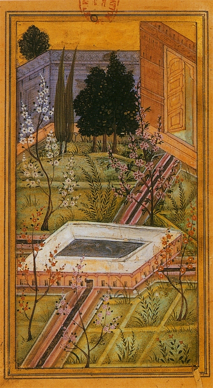
Pairi-daeza
The term ‘paradise’ and its religious implications originate from ‘pairi-daeza’, Old Persian for ‘a wall surrounding a garden’. Pairi-daeza is the title of an elective course series addressing the appropriation of landscape as a common resource in European Metropolises while exploring new forms and types of public spaces. The elective course serves as an introduction to landscape architectural design on various scales including the topics of border, threshold, water, vegetation, topography, choreography, and metaphor. Architecture students develop a project based on the perception of place, knowledge of landscape-architectonic typologies, and conception of public space. They become familiar with GIS as an analytical tool, model building as a design methodology and the representation of landscape through plans. The design process is accompanied by workshops, lectures, excursions, critiques and a workbook.